Labor Day 2025: Black Dome Range & Windham High Peak
Table of contents
This was my first backpacking trip in quite some time (almost 10 years!) as well as my first solo trip. I've been wanting to get back out there for quite some time, and this year I finally decided it was time to just do something about it. It was definitely a tough hike after a long time away from the trail, but it felt great to spend some real time in the woods again after being away for a long time.
Planning
I had a couple of priorities in mind when putting together my itinerary:
- I needed to be able to bail out early if I decided I was in over my head. This mostly meant finding a campsite that was close-ish to the trailhead (but not too close - I still wanted to feel like I was going somewhere!)
- While it probably would have been smarter to plan a quick overnight, it was easier to motivate myself to get out there for a longer and more involved itinerary, so I settled on three days/two nights.
- Labor Day was likely to be a busy weekend, so I wanted to find campsites/shelters on the quieter side. This mostly meant leaning towards primitive campsites over lean-tos.
I had never hiked in the Catskills, but this seemed like a good time to start exploring - a multi-day hike would give me time to see some varied terrain and make the longer drive worth it. After a little research on Reddit and NYS DEC's interactive map (which lists lean-tos and primitive campsites, and is a fantastic resource for finding less-well-documented campsites), I settled on a rough loop in the Black Dome Range:
- Friday, I planned to summit Thomas Cole and Black Dome mountains on my way to a primitive campsite in Lockwood Gap.
- Saturday, I would head north through the Big Hollow Road trailhead to Windham High Peak, turn around, and head to the Batavia Kill lean-to via the Escarpment Trail.
- Finally, on Sunday, I would climb Blackhead in the morning and head back to the Barnum Road trailhead the way I came in.
Hiking
I set out from the Barnum Road trailhead, where I was the only car Friday morning. Be careful to park off the road, not blocking the driveway at the end, and not in the snowplow turnaround to the right.
Day 1
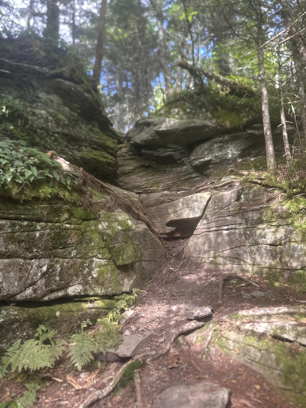
The ascent from the trailhead to Camel's Hump is a pretty consistent climb, with not many views to speak of. There are some fun little scrambles, which keep things fresh enough, but that's about it. Camel's Hump has the first real view of the hike, and things are a little more interesting from here to Thomas Cole.
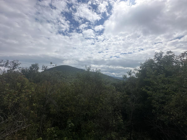
There's a little clearing at the summit of Thomas Cole, with a rock that was perfect for a short lunch break. At this point most of the climbing is done, and as a nice reward, you also get some views on the way to Black Dome.
The best views, however, are on the way down from Black Dome to Lockwood Gap. Along with some fun rocky descents, you get fantastic views of Blackhead as you make your way down to the col:
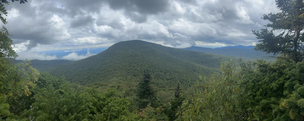
From here, it's all downhill to the junction between the Blackhead trail and the Black Dome Range trail. This is Lockwood Gap, and the primitive campsite is right at the northeast corner of the junction. I was able to find two sites; I chose the one slightly further from the trail since it was a little clearer.
Day 2
The descent from Lockwood Gap to the Big Hollow Road trailhead was pretty straightforward. There's a spring about a half mile from Lockwood Gap, and it was running pretty well when I passed. From there it's fairly unremarkable; down around the trailhead, you walk along Batavia Kill, which makes for a little variety. The ascent back up to the junction with the Escarpment Trail is also pretty straightforward. Turning west onto the Escarpment Trail, today really picks up - it alternates some steep and flat sections, but the whole trail is a treat. There are some nice views along the way, and the trail itself is also very pleasant.
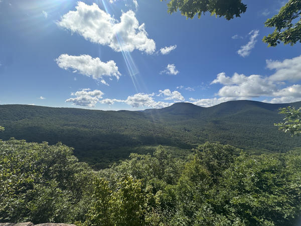
I reached the summit of Windham High Peak right at lunchtime, and there are a lot of viewpoints at the summit that are perfect for sitting and enjoying the view while you eat. Unsurprisingly for the holiday weekend, the summit was busy when I got up there - all three viewpoints already had folks enjoying the beautiful day, and groups kept arriving while I was up there. However, the crowds don't diminish the fantastic views from the summit - we thought were able to see all the way to the Green Mountains in Vermont.
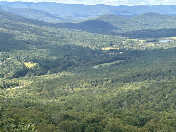
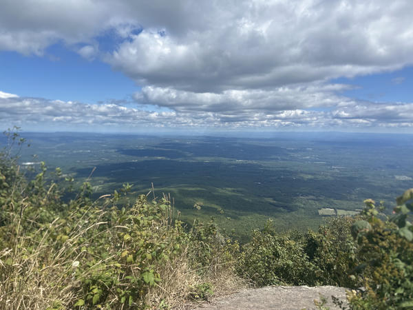
After doubling back, the section of the Escarpment Trail south of the junction is just as nice. While there aren't as many viewpoints, the terrain is varied and interesting, and there are a lot of evergreen sections that are very pleasant.
I reached the Batavia Kill lean-to in the mid-afternoon, and while there was a large tent group already there, I was surprised to find I was the first to grab a spot in the lean-to. Near the lean-to, the creek is little more than a trickle, so it took a while to fill up, and just as I started to filter my water, my reservoir split at the seam between the hook and the body. I was stuck using it as a pitcher at camp; luckily, I had a backup bottle and my filtering pouch, so I had more than enough to head back out in the morning.
Day 3
My hike back out was mostly retracing my steps from the first day, but before I could do that, I had to summit Blackhead. The approach from the lean-to is quite steep - almost 1,100 feet of ascent in about 0.8 miles! I was glad to be doing it on relatively fresh legs (early in the day, at least - I was definitely feeling it by this point in the trip). There aren't any real views from the summit this time of year, so I headed back down towards Lockwood Gap.
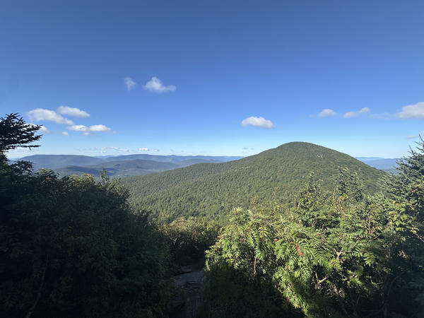
After passing through Lockwood Gap again, it's a full retread of the first day. Fortunately, in this direction it's almost all downhill.
Final thoughts
This was a fantastic first trip back out. I really missed spending this kind of time in the mountains, and it gave me a good reference point to start from for future trips. I think this'll be the first of many! In particular, I'd really like to do the full Escarpment Trail - the section I covered in this trip was really nice, and I'd like to see the rest of it.
Stats and route
Distance: 20.2 miles
Ascent: 7134 feet
Route: GaiaGPS